Unlike almost every other setting in Les Mis, the convent of Petit-Picpus has no exact corresponding location in real life, not even in the Paris of the 19th century. It was originally named as the very real monastery of the Bénédictines du Saint-Sacrement in the Latin Quarter, but Hugo, already walking a fine line with the censors, changed its name and moved it to a more-or-less fictional neighborhood in the vicinity of the modern Gare de Lyon. The final version is an amalgamation of at least three different convents, so we can name at least four places as “the location of the convent of Petit-Picpus”:
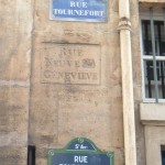
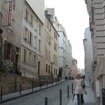
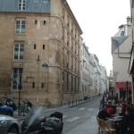
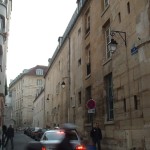
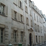
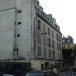
- Its original model, the monastery of the Bénédictines du Saint-Sacrement, located at numbers 16-20 rue Tournefort (rue Neuve-Ste-Geneviève in Hugo’s day). In a nod to Hugo’s original plans, Jean Valjean and Cosette pass by this building while fleeing Javert on the route that will eventually take them to Petit-Picpus. Hugo’s notes on life in this convent come from his one-time lover Léonie Biard, who had heard detailed stories from a relative who was educated there, and who later visited it while looking for a school for her daughter.
- The convent of the Dames de Sainte-Madeleine, numbers 189-195 rue Saint-Jacques, was another source of anecdotes and notes on convent life, this time from Hugo’s longtime mistress Juliette Drouet, who spent five years as a pupil there.
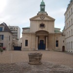
- The convent of the Sacrés Coeurs de Jésus et de Marie de l’Adoration Perpetuelle, adjacent to the Picpus Cemetery at 35, rue de Picpus, lent its name, the name of its location, and certain details of its order to Hugo’s fictional convent.
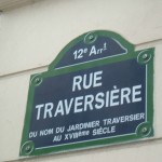
- Finally, although the neighborhood of Petit-Picpus in the novel is fictional, Hugo describes its location and layout with tolerable exactness. This, plus the similarities between an 18th-century map Hugo refers to and the Y-shape formed by the (imaginary) rue du Chemin-Vert-Saint-Antoine, rue Polonceau, and petite rue Picpus, leads me to believe it’s loosely based on an old street called the rue des Charbonniers, roughly where the rue Van Gogh runs today. Other sources name the rue Traversière, one block west of the rue Van Gogh, instead.
Monastery of the Bénédictines du Saint-Sacrement
Historical Location: Rue Neuve-Ste-Geneviève
Modern Location: The block formed by the rue Amyot, the rue Lhomond, the rue du Pot-au-Fer, and numbers 16-20 rue Tournefort (former rue Neuve-Ste-Geneviève)
Metro stop: Place Monge or Censier-Daubenton
Gallery
Congrégation des Sacrés Coeurs de Jésus et de Marie de l’Adoration Perpetuelle
Historical Location: Adjacent to the Cimetière de Picpus
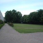
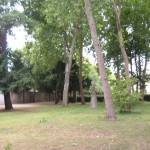
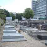
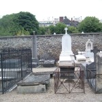
Modern Location: Cimetière de Picpus, 35 rue de Picpus
Metro stop: Picpus or Nation
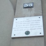
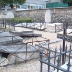
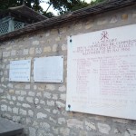
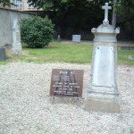
Notes: The Picpus cemetery houses two mass graves of those guillotined at the Place de la Nation in the summer of 1794.
Gallery
Petit-Picpus
Historical Location: An imaginary neighborhood just east of the Pont d’Austerlitz
Modern Location: Around the Gare de Lyon, probably Rue Van Gogh or Rue Traversière
Metro stop: Gare de Lyon, Quai de la Rapée, Ledru-Rollin, or Reuilly-Diderot
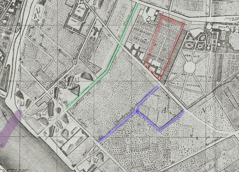
Notes: The folks behind Carnavalet’s Paris in the time of Les Misérables exhibit name the rue Traversière as the modern analogue to the rue du Chemin-Vert-Saint-Antoine that Jean Valjean fled through. Due to its shape on old maps and its proximity to both the garden of the Abbaye des Religieuses de Saint-Antoine and the old market Hugo refers to as the Marché Lenoir, I’m more inclined to think the Y-shaped group of streets Hugo describes is loosely inspired by the old rue des Charbonniers, roughly corresponding to today’s rue Van Gogh. Since the convent was just to the east of the top of the Y shape, that would put it somewhere between the Hôpital Saint-Antoine and the Square Saint-Eloi. On the 18th-century map below, purple is the future Pont d’Austerlitz, green is the rue Traversière, red is the future location of the Marché Saint-Martin (which connected back to the boulevard via the rue Lenoir, hence Hugo’s name for it), and blue is the rue des Charbonniers and the little alley attached to it.
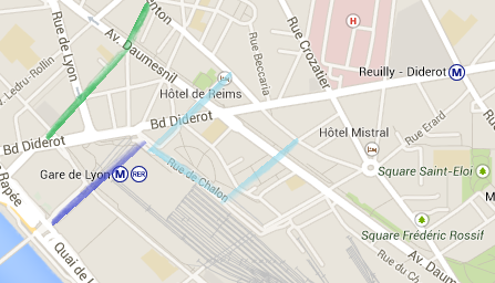
On the modern map below, the rue Traversière is again picked out in green and the rue Van Gogh is in blue, with light blue marking the possible (approximate) correspondence with the other parts of the rue des Charbonniers, notably the rue Hector Malot where it joins the rue de Charenton.
Gallery


Leave a Comment